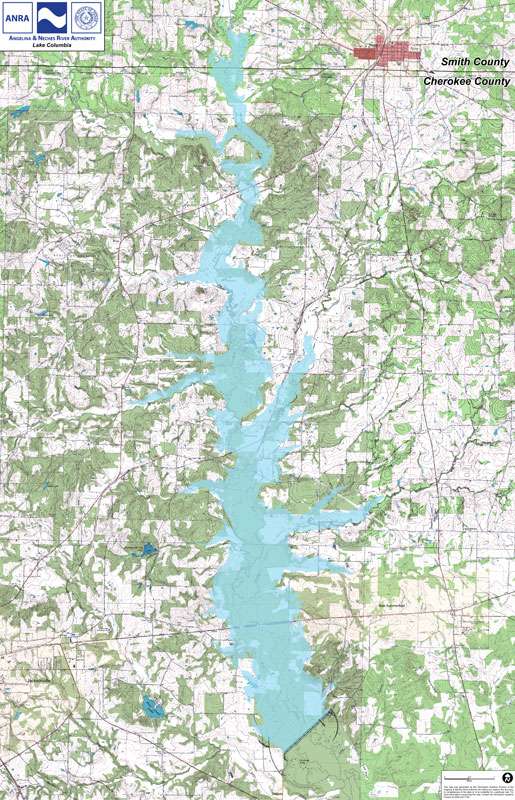
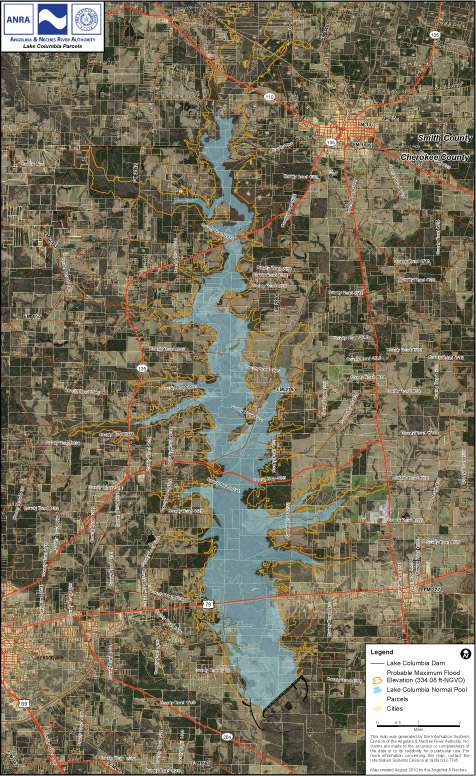
This map shows the anticipated Normal Pool of Lake Columbia, and can also show the Probable Maximum Flood (PMF) level. You can use the buttons on the map to toggle the visibility of the overlays.
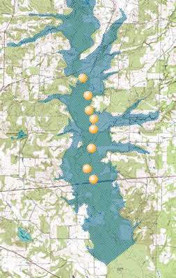
Each dot on the map below represents a location where a photo was taken. To view a photo, hover your mouse over the dot on the map at the location you would like to view.