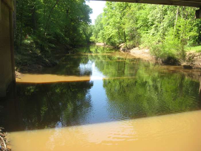
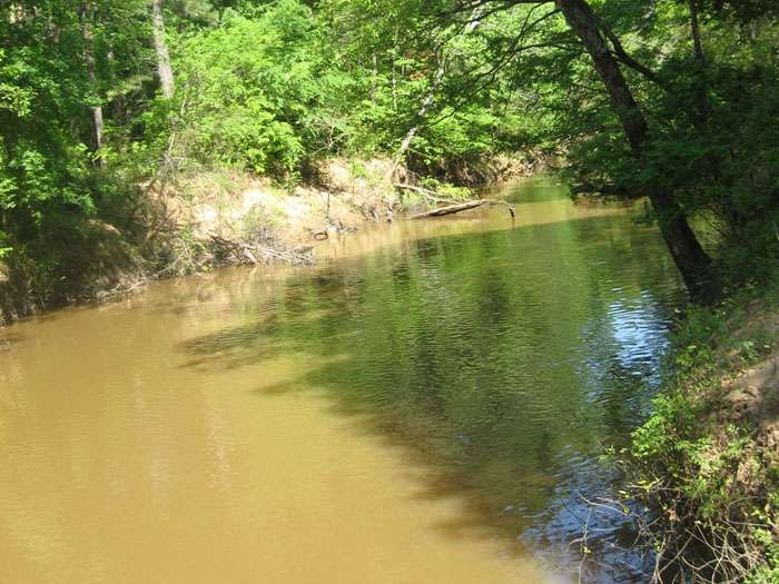
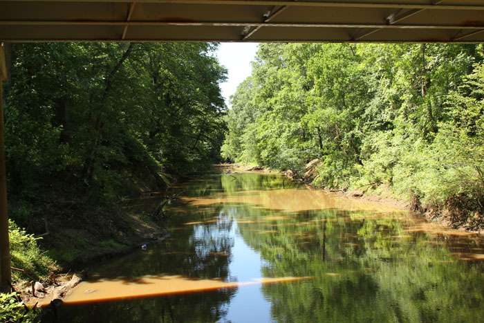
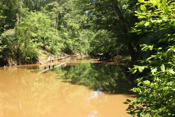
10636 – Attoyac at SH 21
Attoyac at SH 21 - TCEQ ID: 10636
Site Description
Attoyac Bayou at SH 21; 0.71 km West of the intersection of SH 21 and FM 1196; 4.77 km East of Chireno.
Segment Description
Segment 0612 – Attoyac Bayou. Attoyac Bayou is a freshwater stream measuring 81.7 miles in length from a point 3.9 km (2.4 miles) downstream of Curry Creek in Nacogdoches/San Augustine County to FM 95 in Rusk County. The designated uses for this segment include the following: high aquatic life, general, contact recreation, and public water supply. The area surrounding the watershed is managed for agricultural (cattle and poultry), silvicultural, recreational, and wildlife uses. The watershed contains many rural residents. This segment has three areas that are listed on the 303(d) list due to bacteria.
Monitoring Performed Quarterly
|
|
|
Photos
click here to open in a new window